Using geospatial technology procured through the Space Technology Solutions Market

Using geospatial technology procured through the Space Technology Solutions Market
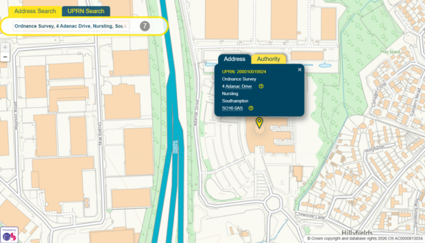
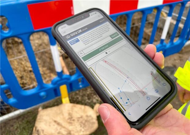
Geospatial technology at the heart of public services Geospatial data plays a critical role in how government understands and manages place. From monitoring environmental change and planning infrastructure, to responding to emergencies and managing public assets, location-based insight helps teams …


Recent Comments