Technology
Geospatial technology at the heart of public services Geospatial data plays a critical role in how government understands and manages place. From monitoring environmental change and planning infrastructure, to responding to emergencies and managing public assets, location-based insight helps teams …
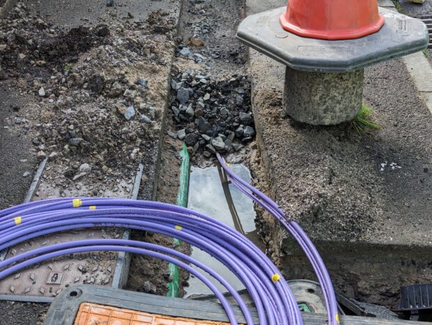
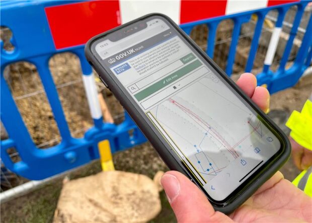
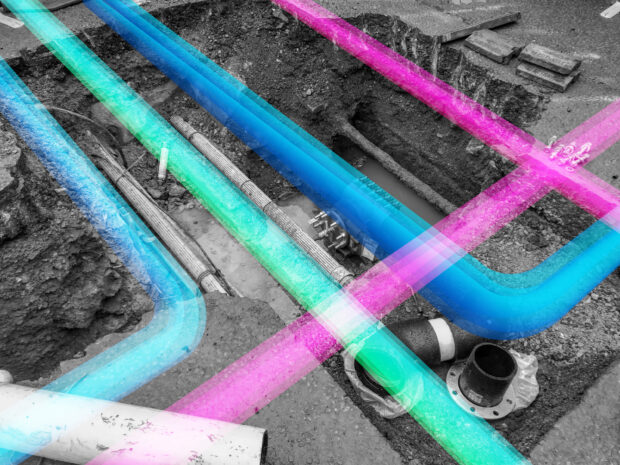
The goal of the National Underground Asset Register (NUAR) is to make street works safer and more efficient by bringing together underground asset data in a standard form, securely accessible in one place. Informed by extensive consultation, we are designing regulations that ensure that the …
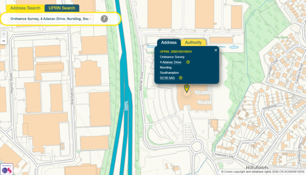
What are UPRNs? In an increasingly data-driven world, seamless data integration is essential for effective, efficient public services and business operations. Unique Property Reference Numbers (UPRNs) are unique identifiers of up to 12 digits which are assigned to every addressable location in the UK. These …
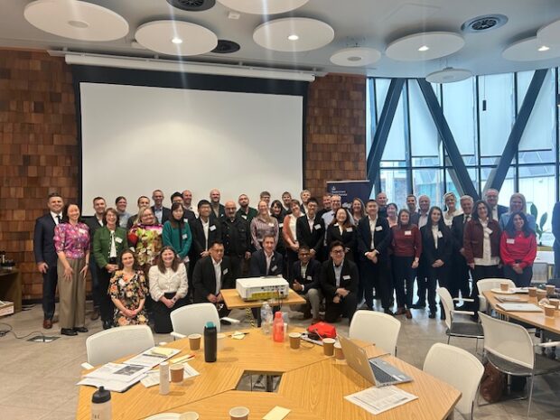
How do you successfully deliver a data sharing initiative that delivers real value to users? Dr. Neil Brammall, Technical Advisor, and Issie Ferris, Policy Advisor, explain how collaboration with international partners has helped to formulate 15 principles that underpinned the …
We are thrilled to announce that the Data (Use and Access) Bill (“the Act”) has received Royal Assent, marking a significant milestone for the National Underground Asset Register (NUAR). This legislation is a testament to the importance of NUAR in …
Richard Duffield, NUAR Discovery Project Lead, shares insights on the next phase of his project, exploring expanded access to NUAR data for new user groups and use cases, aiming to unlock significant economic and social value while ensuring robust security …
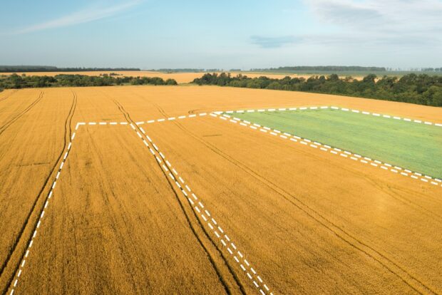
Mehul Doshi, Head of Land Use Programme, explains the role geospatial AI is playing in helping to address land use challenges. The UK has finite land that is under increasing pressure. To meet our energy, housing, and food security needs, …
Karina Matjuhhina, Fast Stream Analyst, explores the UK's geospatial market, highlighting its economic, employment and investment impact. Geospatial data describes where places, objects and people are in any given location. These data can be static such as the address of …
The Geospatial Summit will be taking place this month. The Summit will focus on how recent innovations in geospatial technology can help us tackle resilience challenges.
Christiana Clark explains how the Greater London Authority helped London fully onboard all major utilities and local authorities to NUAR.


Recent Comments