Data
Richard Duffield, NUAR Discovery Project Lead, gives an update on the discovery project celebrating the extensive cross-sector collaboration that has happened thus far; examining the more detailed testing phase that we are now undertaking; and looks to the future, exploring what happens next with this exciting work.
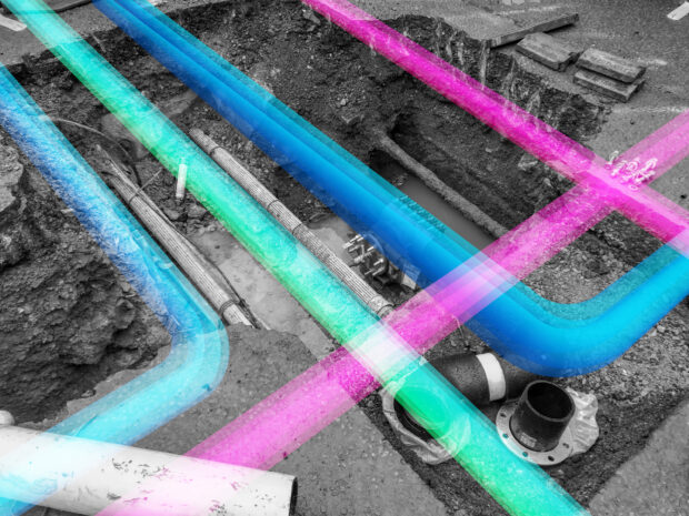
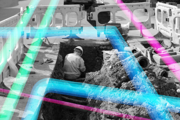
The National Underground Asset Register presents a standardised view of pipes and cables to support safe and efficient excavation works. That view is underpinned by a data model based on a new international standard. Dr Neil Brammall, NUAR Product Owner, describes that data model and plans for sharing it.
At the Geospatial Commission, we firmly believe in a hands-on experience and in creating connections. We recognise the importance of joining people and ideas to make big things happen. That is precisely why we introduced our Geospatial Shadowing Programme. …
The Geospatial Summit will be taking place this month. The Summit will focus on how recent innovations in geospatial technology can help us tackle resilience challenges.
The Geospatial Commission has launched a new discovery project to explore opportunities to widen access to the National Underground Asset Register. Richard Duffield, NUAR Discovery Project Lead, reveals why we started the project and how to get involved.
Dr Neil Brammall, NUAR Technical Product Owner, reveals his key learnings from the recent Open Standards code sprint event organised by the OGC and the role the NUAR data model has played in the implementation of key subsurface standards.
Christiana Clark explains how the Greater London Authority helped London fully onboard all major utilities and local authorities to NUAR.
Chris Chambers, Deputy Director for NUAR Delivery, gives an update on the National Underground Asset Register (NUAR).
In 2021 the government set an aim to secure the UK’s status as a science and technology superpower. The UK’s geospatial community is doing its bit with a successful trip to the UN World Geospatial Information Congress and external recognition as the UK retained its position as second in the world for geospatial capability.
The Local Land Charges Programme is unlocking the power of location data. Transforming 25 million items of public sector held data on land use restrictions into a machine-readable, standardised and easily accessible format will deliver huge benefits, particularly for digital …